

-80%

CMOR Mapping South California f/Simrad
Original price was: $471.19.$94.24Current price is: $94.24.
CMOR Mapping South California f/Simrad Product Description
Southern California for Simrad
SEE IT. DIVE IT. FISH IT.
CMOR Mapping’s game-changing, high-resolution bathymetric imagery for Simrad, Lowrance, B & G, and Raymarine chartplotters and Mercury VesselView displays brings the ocean floor into an entirely new level of focus for anglers and divers.
COMPLETE COVERAGE
CMOR Mapping data comes from methodical surveys of the entire bottom with high-resolution echosounders — not point soundings and historical records.
UNPRECEDENTED DETAIL
With resolution as high as 1 meter — meaning each pixel equals a square meter of bottom — we show you every ledge, coral head, and sunken culvert in unprecedented detail.
SEAMLESS COMPATIBILITY
Just insert a CMOR Mapping card into your plotter and zoom in to see bathymetric imagery. Your vessel icon shows your exact location relative to bottom features.
Frequently Asked Questions (FAQ) About CMOR MAPPING SOUTHERN CALIFORNIA SIMRAD
Who is the CMOR Mapping?
Who is the CMOR Mapping?
See It. Dive It. Fish It. CMOR Mapping‘s game-changing high-resolution bathymetric imagery for Simrad, Lowrance, B&G and Raymarine chartplotters and Mercury VesselView displays brings the ocean floor into an entirely new level of focus for anglers and divers.
Related products
-
Cartography
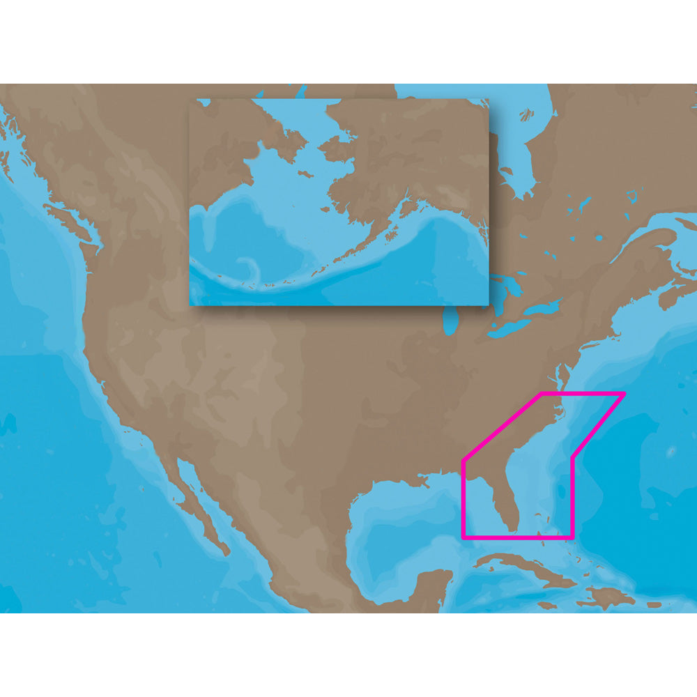
C-MAP MAX NA-M321 – Cape Henry, NC-Apalachicola, FL – SD™ Card
Original price was: $279.00.$69.75Current price is: $69.75. -
Cartography
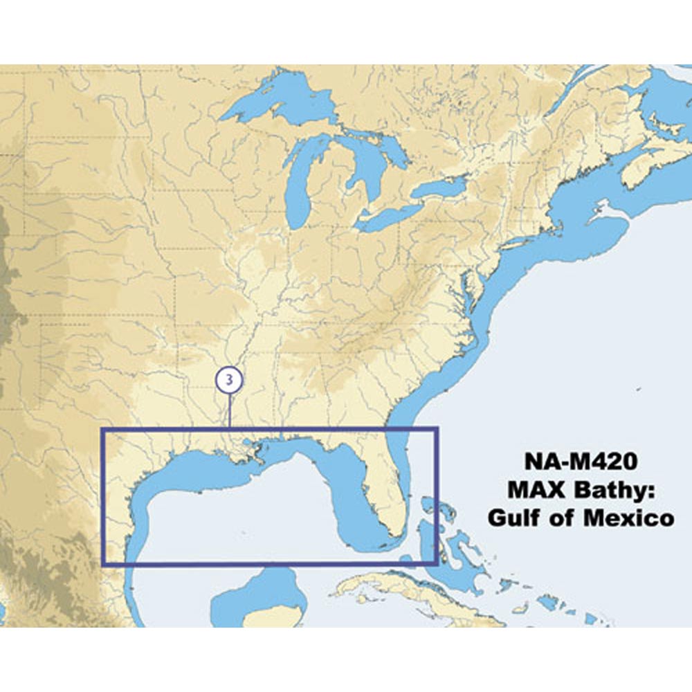
C-Map NA-M420 Gulf of Mexico Bathy Chart – C-Card
Original price was: $279.00.$69.75Current price is: $69.75. -
Cartography
Garmin TOPO – Alaska Enhanced – microSD™/SD™
Original price was: $87.99.$26.40Current price is: $26.40. -
Cartography
C-MAP MAX NA-M023 – U.S. Gulf Coast & Inland Rivers – SD™ Card
Original price was: $279.00.$69.75Current price is: $69.75. -
Cartography
C-MAP MAX NA-M022 – U.S. East Coast & The Bahamas – C-Card
Original price was: $279.00.$69.75Current price is: $69.75. -
Cartography
Garmin Trailhead Series f/Appalachian Trail – microSD™/SD™
Original price was: $45.99.$18.40Current price is: $18.40.


Reviews
There are no reviews yet.